Most of the world’s seismic activity occurs along the boundaries of tectonic plates, but stable continental regions (SCRs) in the center of those plates can also experience seismic activity. Australia is a good example of this, for while damaging earthquakes are relatively rare there, they can and do occur. Ten years ago today, the Kalgoorlie earthquake demonstrated this capability, which will be discussed.
Australia’s Seismic Setting in Brief
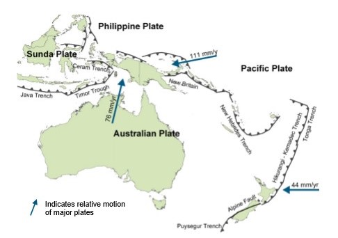
Australia is situated hundreds of kilometers from the boundaries of tectonic plates in an intraplate region that contains some of the oldest rocks in the world. The tectonic and seismic conditions of the country can be compared to those of the eastern and central United States (another SCR). But just as in the United States, those conditions are not uniform across the entire SCR. Eastern Australia experienced some uplifting, folding, and volcanism as the continent drifted away from the Antarctic and the rock underlying much of it is not as old, hard, or cold as that in western Australia. As a result, the rock tends to be more fractured and this portion of the SCR generally exhibits a higher rate of seismicity.
Compared to other SCR regions, seismic activity in Australia is relatively high. In the past 110 years at least 11 earthquakes of Mw 6.0 or larger have occurred. But while the most significant seismic event detected in the state of Western Australia in nearly 50 years was not so powerful, it was still impactful.
The 2010 Kalgoorlie Earthquake
On April 20, 2010, an Mw 5.2 earthquake struck near the city of Kalgoorlie-Boulder, 595 km (370 mi) east-northeast of Perth in the Goldfields-Esperance region of Western Australia. Known locally simply as Kalgoorlie, the city developed during a late 19th century gold rush and today has a population of almost 30,000.
Despite its moderate magnitude, the April 20 earthquake’s shallow focus caused damage to an elementary school, which received serious structural damage, and several historical buildings; local gold mines, including the Super Pit, closed temporarily. Nobody was seriously hurt but in financial terms it was one of the most damaging earthquakes experienced recently in Australia and a reminder that the risk is real.
The 2018 GA National Seismic Hazard Model: Reduced Seismic Hazard
In 2018 Geoscience Australia (GA) developed an updated National Seismic Hazard Model, which challenged established conceptions of Australia’s seismic hazard and generally decreased the view of the seismic hazard significantly. The main cause for hazard reduction is attributable to two primary factors—the revision of historical earthquake catalog data and the change in ground motion model.
The Updated AIR Earthquake Model for Australia
The findings of the project were so significant that they prompted an update of the AIR Earthquake Model for Australia anticipated for release this summer. The AIR model has incorporated the updated National Seismic Hazard Model, but the update also includes many other enhancements. AIR has independently developed a historical catalog that incorporates GA’s 2018 historical catalog as well as additional events from global sources, which has expanded the length of the catalog to the end of 2018. To accomplish this, AIR scientists developed our own local magnitude (ML) to moment magnitude (Mw) regression relationships to develop a catalog that has been homogenized to a consistent Mw scale.
The model’s fault database has been updated based on GA’s updated 2018 fault model and expanded to 391 faults including a recent fault discovered as a result of the 2018 Lake Muir Earthquake. The latest ground motion prediction equations (GMPEs) are included to better capture the epistemic uncertainty inherent in estimating ground motions in tectonically stable regions. Updated Site Soil Classification Maps offer higher resolution amplification modeling along the coastal areas where the majority of the population resides. The vulnerability framework now uses intensity-based damage functions and has been expanded to include explicit support for new risk types.
Together, the updated model’s revised view of the seismic hazard and updated vulnerability modeling capabilities provide a better match to historical losses. These updates ensure that AIR continues to provide the most comprehensive and robust earthquake model for Australia.
For more detail, read the blog “What the New View of Seismic Hazard in Australia Means”