


Do You Know Your Caribbean Risk?
Discover how AIR’s recently enhanced and expanded Caribbean tropical cyclone and earthquake risk models can provide you with the best views of risk across 29 countries and territories in the region.

Risk Model Advancements for the Region
The past several years have reaffirmed the vulnerability of the Caribbean to tropical cyclones and earthquakes. Hurricanes Maria and Irma (2017), Hurricane Dorian (2019), and the 2010 earthquake in Haiti devastated the countries they impacted. And the January 2020 earthquake in Puerto Rico was a more recent reminder of Caribbean seismic risk.
Working with local experts, AIR has been able to make innovative advancements in modeling the region after observing firsthand the devastation left after significant hurricanes and earthquakes.
Caribbean Tropical Cyclone Model
The updated AIR Tropical Cyclone Model for the Caribbean provides you with the most realistic view of hurricane risk in the region. Prepare for the worst with a stochastic catalog that reflects recent historical data, a new vulnerability modeling framework, and support for additional lines of business.

>7,000 loss-causing major hurricanes

4 new historical events
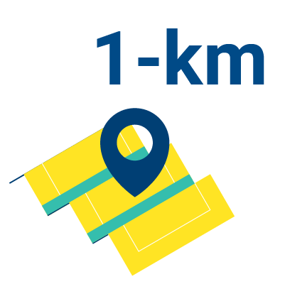
1-km resolution hazard maps

3 EDS events
Caribbean Earthquake Model
The updated AIR Earthquake Model for the Caribbean delivers a detailed view of risk from ground shaking, liquefaction, and tsunami for all 29 countries and territories. The model incorporates the latest seismological data, detailed soil maps, and an updated and enhanced vulnerability model, providing the most accurate view of seismic risk in the region.
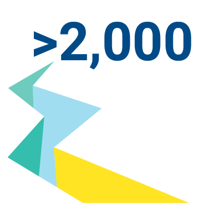
>2,000 earthquakes with a magnitude of 7.0 and above

53 geospatial data layers accessible for accumulation management
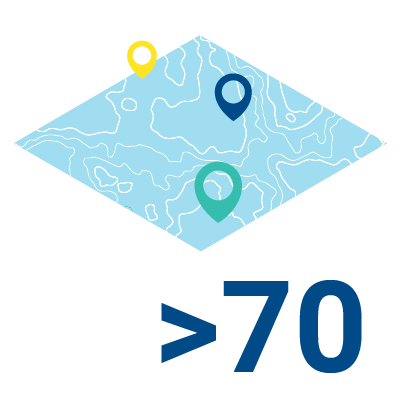
>70 soil maps digitized and integrated
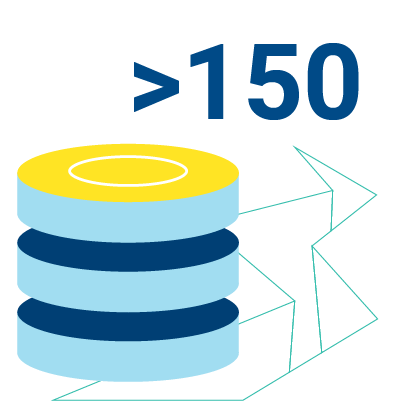
Rupture data for >150 faults captured
