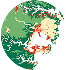
U.S. Earthquake Model
Benefit from the latest scientific view of seismic hazard
Because relying on historical records alone is insufficient for estimating where future earthquakes will occur and how large they will be, the AIR model also uses information from the latest USGS seismic hazard maps, fault slip rate information, and extensive GPS networks to provide insight into where and how seismic stress is accumulating.
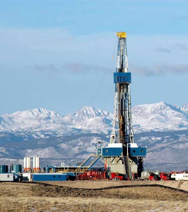
Manage risk from induced seismicity events
There has been an uptick in the frequency of induced, or man-made, earthquakes in the Central United States as a result of processes associated with oil and gas production.
The AIR Earthquake Model for the United States provides you with a full view of risk from induced seismicity. The supplemental catalog, which can be turned on or off, will cover USGS-defined source zones, with a focus on Oklahoma, Kansas, Colorado, New Mexico, Arkansas, and Texas.
Evaluate impacts of sub-perils
Sub-perils can be significant drivers of loss. It is critical to capture the extent and severity of damage at a granular level for better risk differentiation. With the AIR model, you can now estimate damage from ground shaking, fire following, tsunami, liquefaction, landslide, and sprinkler leakage using separate damage functions to achieve a comprehensive understanding of potential losses and their drivers, and to assess peril-specific policy conditions.
Account for differences in vulnerability
The 1994 Northridge, California, earthquake resulted in USD 12.5 billion in insured losses; in Los Angeles County, more than 95% of all damaged buildings were wood frame. The updated U.S. earthquake model features a more refined zonation of wood frame vulnerability and, in addition, provides for explicit consideration of high value homes.
With the enhanced vulnerability module, you can evaluate the implications for loss potential of the latest building codes, additional lines of business, and updated damage functions for industrial facilities and infrastructure to achieve more accurate insights into risk.
The AIR Vulnerability Assessment Framework addresses the challenging problem of assessing the entire U.S. building stock in a manner than can be used to analyze spatially distributed risks and expected losses under a seismic event. The Framework recognizes the complexity of design code development over time and within different regions.
— Eric Hines, Ph.D., PE,
Professor, Tufts University