


A study published earlier this year by Dr. Jim Kossin—a well-respected tropical cyclone scientist at the University of Wisconsin—could shed light on why there has been no landfall of a major hurricane (Category 3 or higher) in the U.S. in the last 11 years.
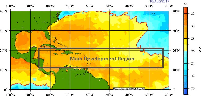
A key finding of the study, which was published in Nature this past January, is that during periods when sea surface temperatures (SSTs) are anomalously high in the main development region (MDR)—that is, periods corresponding to the positive phase of the Atlantic Multidecadal Oscillation, or AMO—those anomalies are significantly lower along the coast of the United States. Further, while vertical wind shear in the MDR tends to be anomalously weak during positive phases of the AMO, vertical wind shear near the U.S. coast tends to be strong during those same periods. Thus, while the conditions conducive to hurricane development and intensification are present in the MDR, conditions along the U.S. coastline actually inhibit hurricane intensification; this, in effect, forms a protective barrier, buffering the U.S. from the more intense storms that might otherwise be expected during periods of warm SSTs.
The historical record of hurricane activity over the Atlantic Basin from 1947 to 2015 is evaluated in the study, and its basic approach is sound. Three periods are examined: 1947–1969; 1970–1992; and 1993–2015. Each represents a half-cycle of the AMO, which can last for more than 20 years. The middle period represents a negative phase of the AMO—a quiet period during which SSTs were anomalously low and activity in the basin was significantly lower than in either of the two active ones.
Perhaps not surprisingly, the study also finds that during the quiet period, in the absence of the protective barrier that is characteristic of a positive AMO, the hurricanes that do form are twice as likely to intensify—and do so rapidly—near the coast, although intensification rates are much more variable. In particular, a greater percentage of the 6-hourly track points near the coast exhibited strengthening in the quiet period than in the two active ones. Importantly, the study does not say that there is a greater likelihood of stronger (intensifying) hurricanes forming during the quiet period than during the active period; it only says that the percentage of storms that do form are more likely to intensify.
Perhaps even more importantly, the study does not suggest that there will be fewer storms approaching the U.S. coast during active periods than during quiet periods, only that the percentage of storms finding their way to the coast at (major) hurricane strength will be lower.
To illustrate the notion that more strong storms still affect the U.S. during active periods, let's look at all the U.S. landfalls with Saffir-Simpson Category 3 or higher windspeeds as modeled by the AIR U.S. hurricane model. In the quiet period examined in this study there were seven such landfalls, and in the first and second active periods there were 19 and 10, respectively. This simple analysis supports the idea that even though the relative likelihood of strong storms approaching the coast is lower during an active period, the fact that there are so many more storms overall makes up for the deficiency.
Pioneering Study
A factor that is not discussed in the study is the curvature of hurricane tracks, which influences whether a storm will make landfall at all or recurve out to sea. To this point, the North Atlantic Oscillation (NAO) has been well documented as having an influence. The historical record shows that a good portion of the time since 2006, during which the AMO has been positive, the NAO has been negative, which would more likely send tropical cyclones out to sea than into the Gulf of Mexico.
Because the very nature of the analysis requires multidecadal data—of hurricane locations, central pressure, and deepening rates—the number of periods compared in this study is severely limited. Its real merit is that it has uncovered something that many more scientists will begin to look at—the intrabasin impacts of vertical wind shear and sea surface temperatures on hurricanes in the North Atlantic. While it does not (fully) explain the continuing major hurricane “drought,” it is a pioneering study for sure.
Survey Shows Impact of Warm Ocean Climate on Hurricane Risk Modeling


