


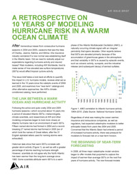
The double whammy hurricane seasons of 2004 and 2005 broke all sorts of records and left the insurance industry wondering if a new normal was establishing itself in the Atlantic basin. Has it?
A sea surface temperature (SST) of more than 26°C (78.8°F) to a depth of at least 50 meters (164 feet) below the ocean surface is one of the essential elements for tropical cyclone formation. The warm water provides the heat energy necessary for tropical cyclone development. Hurricane activity (in terms of both frequency and intensity) in the Atlantic has fluctuated during the past century,alternating between periods of high and low activity that appear to correlate with long-term warming and cooling trends in the basin.
The 2004 and 2005 hurricane seasons, which between them generated 42 named storms, including hurricanes Charley, Jeanne,Katrina, and Wilma, occurred about 10 years into a period of elevated Atlantic SSTs. With the insurance industry concerned that the Atlantic basin had entered a period of increased hurricane activity and that existing catastrophe models were under estimating the risk, there was pressure for modelers to forecast risk on a near-term horizon using SST forecasts-a radical departure from the established approach of using long-term historical storm data.
So, how have "near-term" catalogs and other alternative approaches, such as AIR's climate-conditioned catalog, performed?Did we need to radically adjust our expectations regarding hurricane activity and insured losses?
I invite you to read AIR's issue brief 10 Years of Modeling Hurricane Risk in a Warm Ocean Climate to see what we have learned since the 2004-2005 Atlantic hurricane seasons.


